


4.4 km | 5.5 km-effort

Tous les sentiers balisés d’Europe GUIDE+


FREE GPS app for hiking
 SityTrail
IGN / Geographical institutes
SityTrail World
The world is yours!
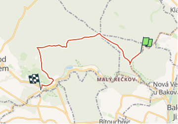
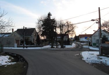
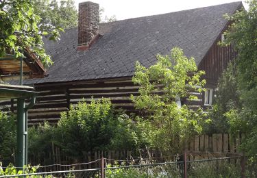
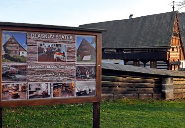
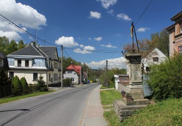
Trail On foot of 9.3 km to be discovered at Central Bohemia, Unknown, Bakov nad Jizerou. This trail is proposed by SityTrail - itinéraires balisés pédestres.
Trail created by cz:KČT.
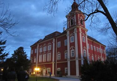
 - Klokočka - Photo 1")
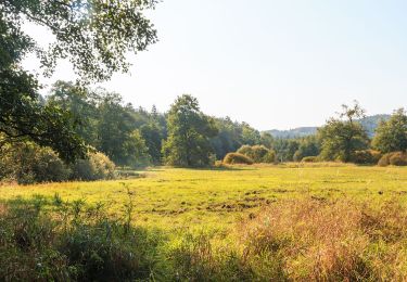
 - Klokočka - Photo 2")
 - Klokočka - Photo 3")
 - Klokočka - Photo 4")
 - Klokočka - Photo 5")
 - Klokočka - Photo 6")
 - Klokočka - Photo 7")
 - Klokočka - Photo 8")
 - Klokočka - Photo 9")
 - Klokočka - Photo 10")
On foot
On foot
On foot
On foot
On foot
On foot
On foot
On foot
![Trail On foot Ralsko - [Ž] Jelení Vrch - Brennský mlýn - Photo](https://media.geolcdn.com/t/375/260/b538ad50-9c11-4eae-ab49-904257cb9a55.jpeg&format=jpg&maxdim=2)
On foot